
A few days ago, Jason Kottke posted an item that raised an important enough question — well, twenty of them — that I wanted to repeat it here. The questions stem from a 1981 quiz1Developed by Leonard Charles, Jim Dodge, Lynn Milliman, and Victoria Stockley, originally published in Coevolution Quarterly 32, from winter 1981, asking how well you know your local natural environment. They are:
- Trace the water you drink from precipitation to tap.
- How many days til the moon is full? (Slack of 2 days allowed.)
- What soil series are you standing on?
- What was the total rainfall in your area last year (July-June)? (Slack: 1 inch for every 20 inches.)
- When was the last time a fire burned in your area?
- What were the primary subsistence techniques of the culture that lived in your area before you?
- Name 5 edible plants in your region and their season(s) of availability.
- From what direction do winter storms generally come in your region?
- Where does your garbage go?
- How long is the growing season where you live?
- On what day of the year are the shadows the shortest where you live?
- When do the deer rut in your region, and when are the young born?
- Name five grasses in your area. Are any of them native?
- Name five resident and five migratory birds in your area.
- What is the land use history of where you live?
- What primary ecological event/process influenced the land form where you live? (Bonus special: what’s the evidence?)
- What species have become extinct in your area?
- What are the major plant associations in your region?
- From where you’re reading this, point north.
- What spring wildflower is consistently among the first to bloom where you live?
I did poorly. (In the words of the authors, “It’s hard to be in two places at once when you’re not anywhere at all.”) In fact, I did so poorly that I decided to not only follow up on the questions but put my camera where my mouth is.
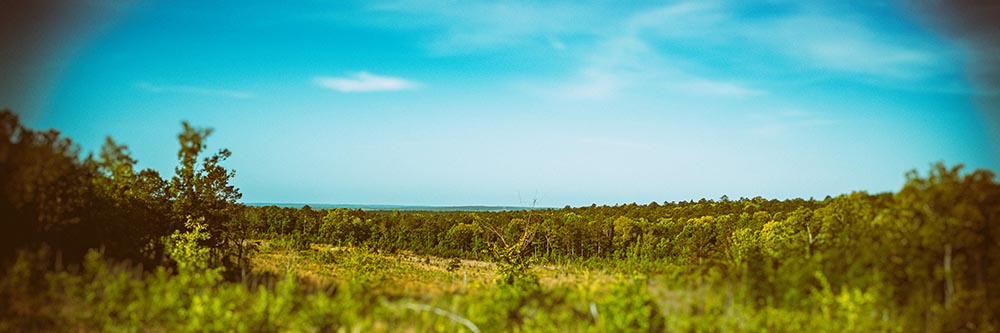
In answer to the first question, Macon and a good chunk of Middle Georgia get their drinking water from the Ocmulgee River:
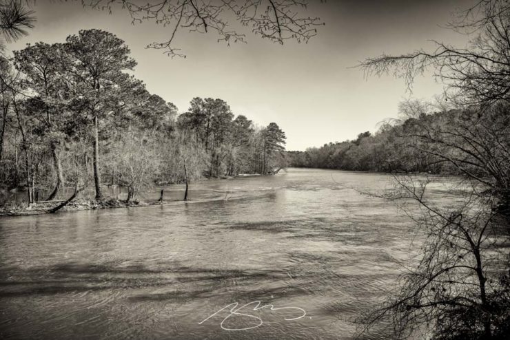
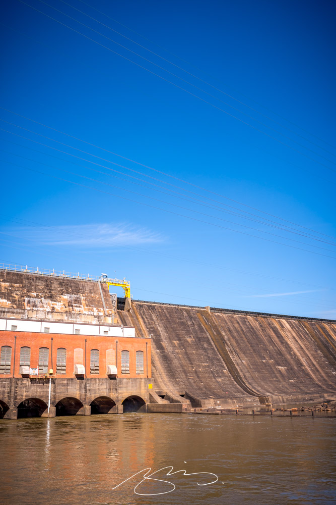
In fact, this past weekend’s trip to Monticello and Barnesville were merely extensions of the trip to Jackson Lake and Dam, so I could see where the Ocmulgee starts. Next up is to trace the Yellow, Alcovy and South Rivers, which feed Jackson Lake. (See the rest of the photographs from the Jackson area.)
But I’d ask everyone reading this to ask yourselves the same questions. As Kottke points out, most of the people living here years ago would have known more of the answers than those of us who live in the built environment do. He passes on an idea from Rob Walker:
Pick one of the questions you don’t know the answer to – and make it a point to learn what that answer is. After you’ve mastered that, move on to a new question.
Go!
- 1Developed by Leonard Charles, Jim Dodge, Lynn Milliman, and Victoria Stockley, originally published in Coevolution Quarterly 32, from winter 1981